Ancient archaeological sites threatened by climate change in California
A Resource by the Marine Protected Areas Federal Advisory Committee (These statements do not necessarily reflect the positions of NOAA or the U.S. Government)
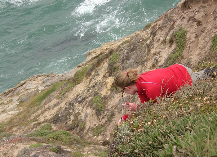
The coastal archaeological record contains a unique repository of information about how people in the past have adapted to climate change. Along the coasts of North America, people deposited the remains of the fish and shellfish they were using in shell middens, which record how they interacted with marine and estuarine ecosystems for 13,000 years. The fish and shellfish in these middens record past climate change, and isotopic analysis of their remains reveal changing salinity, sea surface temperatures, and species distribution through time. This information is also increasingly important for biodiversity conservation decision-making in an era of rapid global warming. While full excavation of all of these sites is not feasible, significant information can be obtained through formal recording of sites, radiocarbon dating, and small scale sampling.
A recent study for The Nature Conservancy (TNC) on Santa Cruz Island, California, sought to identify coastal shell midden and other archaeological sites most threatened by 21st century climate change to prioritize excavation and other mitigation efforts. Using data from the USGS's coastal vulnerability index and NOAA's environmental sensitivity index, archaeological sites on TNC property (about 190 km2) were evaluated based on its vulnerability to sea level rise, shoreline retreat, and storm erosion. Variables included the site's elevation and its distance to the nearest shoreline, the geomorphology, coastal slope, and historical erosion rates of the nearest shoreline, and the landcover, soil erosion index, slope, and precipitation zone in the site's immediate vicinity. Each site was then assigned to one of five risk categories: highest (50 sites), high (115 sites), moderate (218 sites), low (298 sites), or very low (116 sites).
The model indicated six areas on Santa Cruz Island that were particularly vulnerable to climate change. Field visits confirmed the accuracy of the model, and surveys identified 64 new archaeological sites in vulnerable areas. Samples for radiocarbon dating were obtained from 53 sites that were actively eroding and had not been previously dated. These sites ranged in age from 9000 years ago to the middle of the 19th century. In addition, bulk samples (midden samples of 30 or 50 L) were collected from eight sites. These samples are still being processed, but this research has already expanded the known record of early (before ~7000 years ago) sites on Santa Cruz Island. In addition to data collection, the study also identified specific steps for future work, such as additional testing at particularly unique or significant sites and salvage excavations at a few highly significant sites that are immediately threatened.
This project represents a concerted effort of biologists, archaeologists, and conservationists to collect data from sites before they are lost. It highlights the value of cross-disciplinary collaboration and the urgency to prioritize research efforts like this. Future scientists will not have these options. We cannot save every site, but we can take steps to collect critical information before it disappears by using powerful datasets and technologies at our disposal alongside efficient data collection strategies.
This research was conducted by Torben Rick, Jon Erlandson, Kristina Gill, Leslie Reeder-Myers, Todd Braje, and Scott Morrison. It was supported by funds from The Nature Conservancy, the University of Oregon, and the Smithsonian Institution.